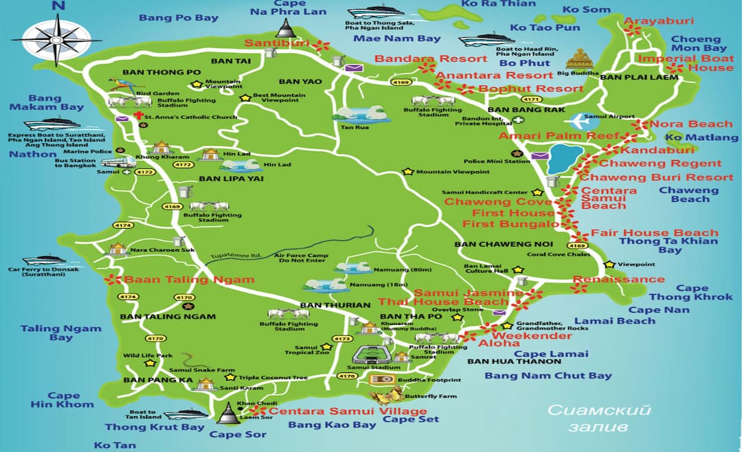
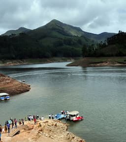
Geography in Koh Samui
Happy Travellers
31st Jan Southeast Asia Tour
Mr. Yayati Patel
 Jan
JanSingapore Malaysia Tour-21st Dec to 31st Dec
Mr. Chetan Gandhi
 May
MayHotel Food And Staff Services Was Very Nice
Mr. Shambahadur Thakur
 Feb
FebWe Love Partnering With You On Our Travels!
Priyanka Desai
 Nov
NovWe Have Enjoyed Our Dubai Trip!
Mr. Rahul Bhasin
 Nov
NovWe Couldn’t Dream Of A Better Vacation Than This!
Mr. Neeraj Amin
 Sep
SepThanks Flamingo Team To Make Our Dream Come True
Mr. & Mrs. Nehal Gandhi
 May
MayThanks For A Memorable Trip To China!
Mr. Nirav Parikh
 Jul
JulAppreciate Flamingo's Services And Travel Again!
Mr. Husein Sama
 Jun
JunThanks a Lot for Making Wonderful Trip!!
Mr. Chetan Talati
 Jun
JunTrending travel articles

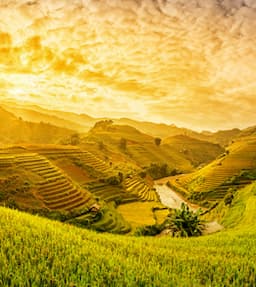
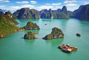
A New Wonder of the World: The Golden Bridge in Vietnam
An overnight internet sensation and thanks to Instagram - the Golden Bridge in Vietnam is at the top of the travel bucket list for many tourists. Since its opening day - it has topped the global architectural charts. Over the past few years, uniq
Top Maldives Alternatives to Explore Summer Vacation
Post-a-pandemic - thanks to the Bollywood celebrities - the Maldives has been in the travel spotlight. Yes, the Maldives is a surreal place to be - yes, it is the best short-distance foreign country to visit; yes, the Maldives travel experience
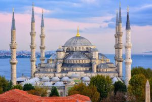
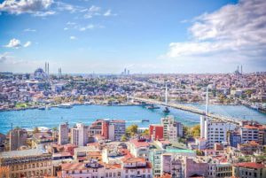
Explore the Majesty of the Blue Mosque in Istanbul
The iconic and famous mosque in Istanbul, the Turks call – the Sultan Ahmet Mosque, is known globally as the Blue Mosque. The Blue Mosque in Istanbul received this unofficial name based on the blue tiles that adorn this structure. The blue mosq
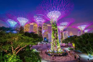
Find Out Everything You Need To Know About Gardens By The Bay In Singapore!
One of the most renowned and not to be missed features of Singapore tour Packages is to visit the Gardens by the Bay in Singapore. This garden is an integral part of Singapore Tourism. Your tour of Singapore is incomplete if you do not go to see the

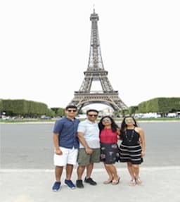
7 Festivals That Celebrate Life in Europe!
For most of us, Europe is synonymous with our summer holidays. Europe conjures images of snow-clad mountains, lush greenery, famous historical sites, and beautiful landscapes. There are infinite options for all – young and old, honeymooners and
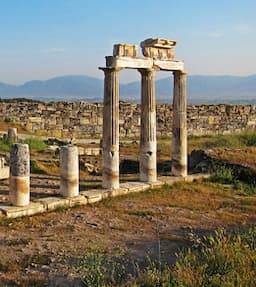
Grand Bazaar In Istanbul: All You Need To Know Before Visiting!
Turkey tourism is renowned for its mystical charm, stunning architecture, and rich culture, but your visit to this country will not be a full circle unless you visit the Grand Bazaar in Istanbul. The must-visit spot for any tourist while visiting Ist
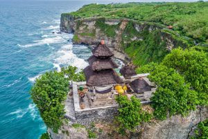
Uluwatu Temple Bali – A Guide to Visiting Bali’s Magnificent Sea Temple
Bali is renowned for its beaches, a destination apt for short breaks and honeymoons - but this island of Bali is also famous for its temples. We all know that Uluwatu Temple is one of the most famous temples in Bali. Instead, we could say that Bali
8 Famous Vietnamese Foods to Try On Your Trip!
What’s the purpose of visiting a new country if you don’t experience the local cuisine? The best approach to exploring the nation is to try the local cuisine. The cultural influences of that location are reflected in the food. Likewise to
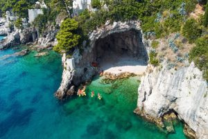
5 Best Beach Destinations in Europe: Beach Lovers, this one’s for you!
In Europe, you will find some of the most gorgeous cities on the planet. Millions of tourists visit Europe each year to discover its capital cities, like Paris, Barcelona, Berlin, Amsterdam, and Vienna, to mention a few. Europe Tourism is gifted with
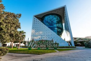
The Green Planet in Dubai – An Indoor Rainforest on the Arabian Desert
Dubai - you would have thought about uber-luxury, desert safari, very high temperatures, endless fun, and shopping. But, can you imagine a tropical rainforest in Dubai? On second thoughts - if Dubai can have a Miracle Garden, Ski World in the des